A PALENT - Occitan Trails Trail
Starting from Borgata Finello (1300) is reached on the paved road borgata S. Sebastiano. Before the sign indicating the name of the hamlet, a path branches off to the left that runs alongside some houses, turns left and reaches Arata. Leaving the trail, walk on the paved road down the valley for 200 meters, and then take a very scenic mule track on the right that leads to Borgata Reinero.
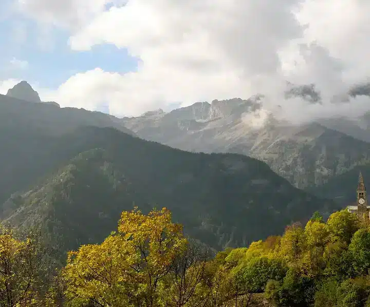
Having crossed the entire hamlet, one travels along the paved road and skirting the Parish (mt. 1548) reaches the Borgata Superiore (mt. 1523). Before entering the hamlet on the right in a northerly direction, take the convenient mule track known as the “Napoleonica,” which has recently been reactivated and follows the 18th-century “cannon road” with a semi-flat course through larch woods and grasslands to the Colle dell’Encucetta.
At the fork indicating the descent to Stroppo, take the path to the right and through a dense forest of larch and beech trees climb up to an elevation of 1700 and then descend the valley that leads us toBorgata Palent mt. 1463.
Travel time: 3 hours and 30 minutes.
From Colle dell’Encucetta, there is the option of descending through dense white fir and beech forest to the Maira River (Bedale region of Stroppo to the east or pont d’la Ceino to the west) in about 1 1/2 hours.